Maps of Brittany in France (Bretagne)
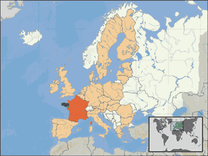
Brittany on the World Map
On this map, France is in red colour and Brittany (Bretagne) in dark green.

The Brittany region on the World map © Mike_BZH
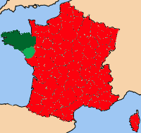
Brittany on the France Map

Map of France with Brittany region marked
in green © Rhinaldum
in green © Rhinaldum
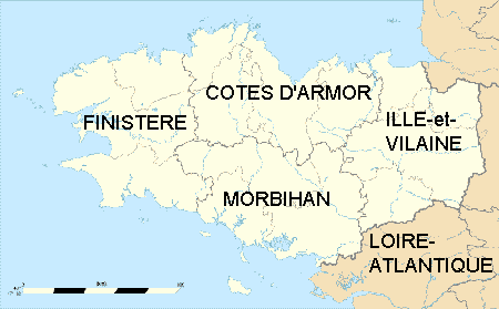
Departmental Map of Brittany
Brittany's current departmental structure includes Morbihan, Finistère, Ille et Vilaine and Côte d'Armor. However, before the 1973 French governmental reorganisation, Brittany also entailed the Loire-Altantique department now part of the Pays de la Loire region.

Map of Brittany France with departments © Eric Gaba
Road Map of Brittany
Search a Hotel in Brittany
Brittany Top Holiday Destinations
Northern Coastline | ||
 Emerald Coast |
 Pink Granite |
 North Finistère |
Southern Coastline | ||
 South Finistère |
 Morbihan |
 Loire-Altantique |


